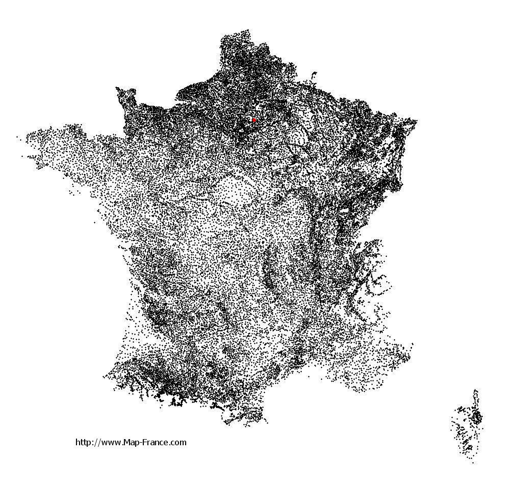
Le Plessis-Belleville on the relief France map in Lambert 93 coordinates
|
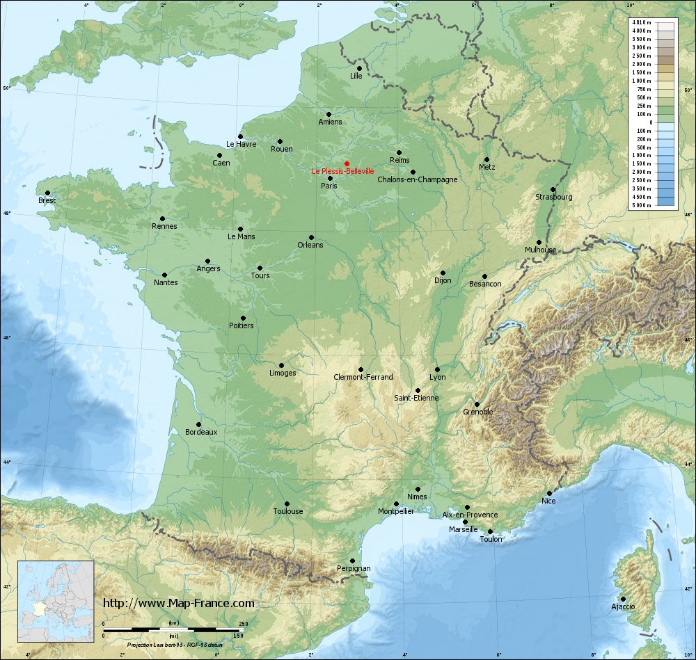
See the map of Le Plessis-Belleville in full screen (1000 x 949)
|
At left, here is the location of Le Plessis-Belleville on the relief France map in Lambert 93 coordinates.
Here are the altitudes of Le Plessis-Belleville :
- Town hall altitude of Le Plessis-Belleville is 115 meters
- Minimum altitude of Le Plessis-Belleville is 94 meters
- Maximum altitude of Le Plessis-Belleville is 122 meters
- Medium altitude of Le Plessis-Belleville is 108 meters
Here are the altitudes of Beauvais, prefecture of Oise department:
- Town hall altitude of Beauvais is 67 meters
- Minimum altitude of Beauvais is 57 meters
- Maximum altitude of Beauvais is 170 meters
- Medium altitude of Beauvais is 114 meters
Here are the altitudes of the french biggest cities:
Paris : 33 meters
Marseille : 20 meters
Lyon : 237 meters
Toulouse : 146 meters
Nice : 10 meters
Nantes : 20 meters
Strasbourg : 144 meters
Montpellier : 35 meters
Bordeaux : 16 meters
Lille : 20 meters
Rennes : 35 meters
Reims : 83 meters
Click here for the terrain map of Le Plessis-Belleville in full screen:
Relief map of Le Plessis-Belleville
|
This relief map of Le Plessis-Belleville is reusable and modifiable by making a link to this page of the Map-France.com website or by using the given code :
|
Terrain base map of Le Plessis-Belleville
|

See the terrain base map of Le Plessis-Belleville in full screen (1000 x 949)
|
Small relief base map of Le Plessis-Belleville

|
This base map of Le Plessis-Belleville is reusable and modifiable by making a link to this page of the Map-France.com website or by using the given code :
|
Map of Le Plessis-Belleville with regions and prefectures
|
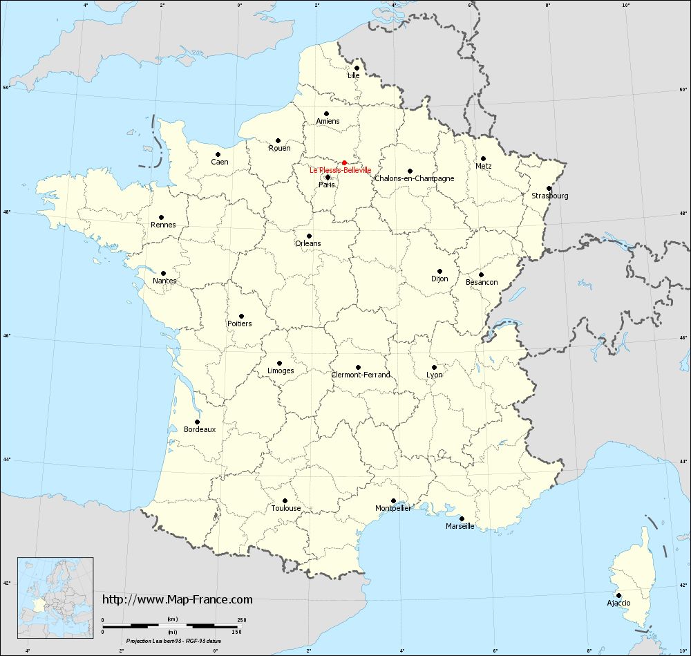
View the map of Le Plessis-Belleville in full screen (1000 x 949)
|
You will find the location of Le Plessis-Belleville on the map of France of regions in Lambert 93 coordinates. The city of Le Plessis-Belleville is located in the department of Oise of the french region Picardie.
Geographical sexagesimal coordinates / GPS (WGS84):
Latitude: 49° 05' 48'' North
Longitude: 02° 45' 11'' East
Geographical decimal coordinates :
Latitude: 49.095 degrees (49.095° North)
Longitude: 2.757 degrees (2.757° East)
Lambert 93 coordinates :
X: 6 820 hectometers
Y: 68 886 hectometers
Lambert 2 coordinates :
X: 6 304 hectometers
Y: 24 555 hectometers
Below, the geographical coordinates of Beauvais, prefecture of the Oise department:
Geographical sexagesimal coordinates / GPS (WGS84):
Latitude: 49° 26' 03'' North
Longitude: 02° 05' 15'' East
Geographical decimal coordinates :
Latitude: 49.435 degrees (49.435° North)
Longitude: 2.082 degrees (2.082° East)
Lambert 93 coordinates :
X: 6 338 hectometers
Y: 69 265 hectometers
Lambert 2 coordinates :
X: 5 819 hectometers
Y: 24 930 hectometers
|
This map of Le Plessis-Belleville is reusable and modifiable by making a link to this page of the Map-France.com website or by using the given code :
|
Map of Le Plessis-Belleville with departments and prefectures
|
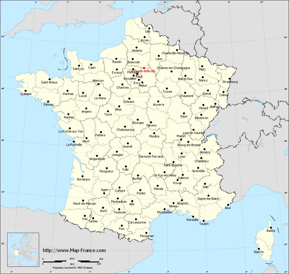
Voir la carte of Le Plessis-Belleville en grand format (1000 x 949)
|
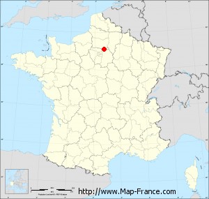
Here is the localization of Le Plessis-Belleville on the France map of departments in Lambert 93 coordinates. The city of Le Plessis-Belleville is shown on the map by a red point.
The city of Le Plessis-Belleville is located in the department of Oise of the french region Picardie.
The latitude of Le Plessis-Belleville is 49.095 degrees North.
The longitude of Le Plessis-Belleville is 2.757 degrees East.
Here the distance between Le Plessis-Belleville and the biggest cities of France:
Distances are calculated as the crow flies (orthodromic distance)
Distance between Le Plessis-Belleville and Paris : 39.7 kilometers
Distance between Le Plessis-Belleville and Marseille : 675.37 kilometers
Distance between Le Plessis-Belleville and Lyon : 402.13 kilometers
Distance between Le Plessis-Belleville and Toulouse : 618.7 kilometers
Distance between Le Plessis-Belleville and Nice : 690.86 kilometers
Distance between Le Plessis-Belleville and Nantes : 381.38 kilometers
Distance between Le Plessis-Belleville and Strasbourg : 369.88 kilometers
Distance between Le Plessis-Belleville and Montpellier : 615.55 kilometers
Distance between Le Plessis-Belleville and Bordeaux : 535.61 kilometers
Distance between Le Plessis-Belleville and Lille : 171.54 kilometers
Distance between Le Plessis-Belleville and Rennes : 343.9 kilometers
Distance between Le Plessis-Belleville and Reims : 94.33 kilometers
Clic here to see the map of Le Plessis-Belleville in full screen:
Le Plessis-Belleville on the map of french departments
|
This administrative map of Le Plessis-Belleville is reusable and modifiable by making a link to this page of the Map-France.com website or by using the given code :
|
Administrative base maps of Le Plessis-Belleville
|

See the administrative base map of Le Plessis-Belleville in full screen (1000 x 949)
|
Small administrative base map of Le Plessis-Belleville
|
This base map administrative of Le Plessis-Belleville is reusable and modifiable by making a link to this page of the Map-France.com website or by using the given code :
|
 French Version : http://www.cartesfrance.fr